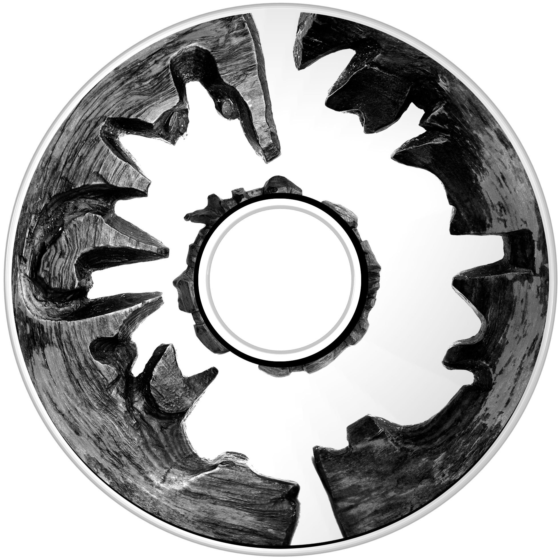


Ammassalik wooden maps are carved, tactile maps of the Greenland coastlines. Carved by a native of Umivik named Kunit in the 1800s. Wooden maps provide a tactile guide under moonlight for fishermen to navigate the coastline. Should their kayaks capsize, the maps could float.
Sapphire and Platinum